
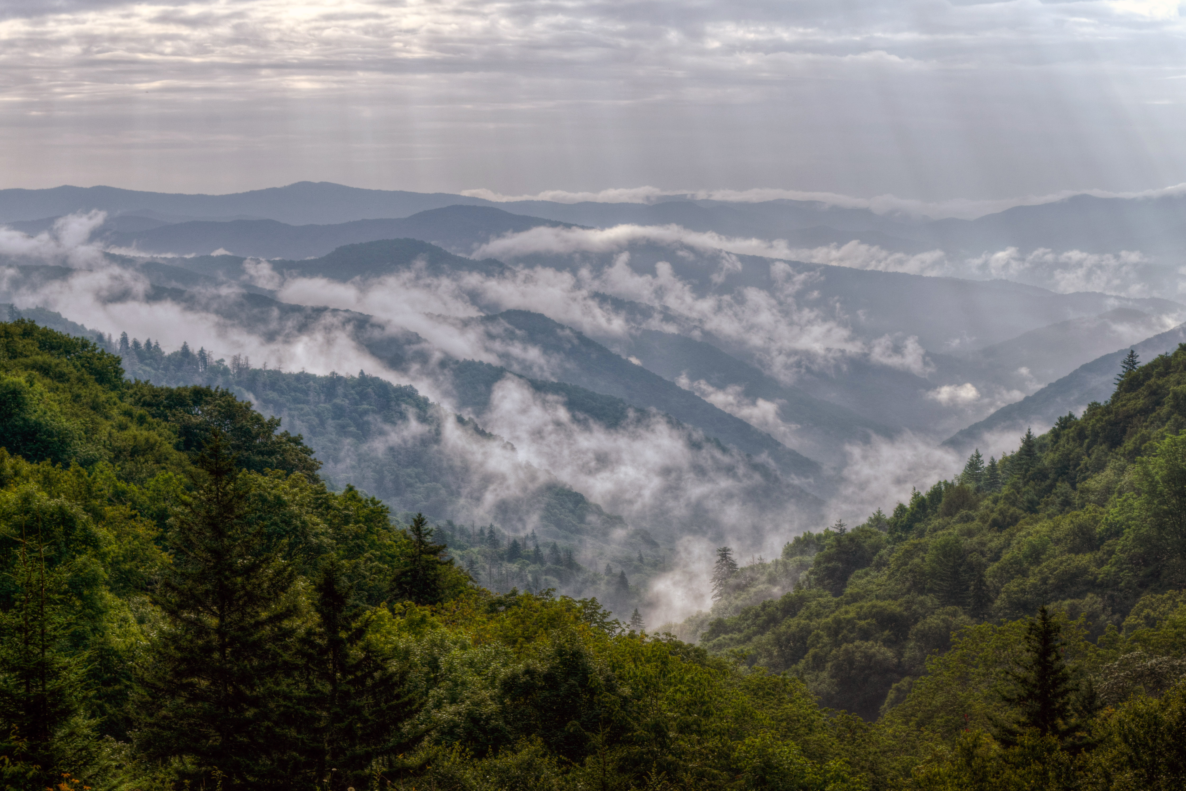
One day in Great Smoky Mountains National Park works best as a single north-to-south drive along Newfound Gap Road, with three or four short stops and one real hike — not as an attempt to see both Cades Cove and Clingmans Dome. The Smokies is the most visited national park in the United States and it has no entrance fee, but it does require a paid parking tag for any stop longer than 15 minutes, and that catches first-time visitors out more than anything else.
Do you need a parking tag for a one-day Smokies visit?
Yes, for practical purposes. The park charges nothing to enter or drive through, but parking anywhere in the park for more than 15 minutes requires a displayed parking tag, sold in daily, weekly, and annual tiers. A day tag is the right choice for a single-day trip. Buy it online or at a visitor center before you start, because you cannot stop to hike without one and rangers do check. Check the current-year rules and prices, which have changed since the program began. Our Smokies parking tag guide walks through the tiers.
Should you start on the Tennessee or North Carolina side?
Start from Gatlinburg on the Tennessee side if you want the classic itinerary — it puts Sugarlands, the Chimney Tops overlooks, and Newfound Gap in front of you in the first hour. Start from Cherokee on the North Carolina side if you want fewer crowds and Mingus Mill, and if you plan to continue onto the Blue Ridge Parkway afterward. The two sides are 33 miles apart on Newfound Gap Road, roughly an hour of slow, winding driving without stops.
A one-day visitor entering from Gatlinburg and leaving from Gatlinburg should not plan to reach Cherokee. Drive to Newfound Gap or Clingmans Dome and turn around.
What is a realistic one-day Smokies itinerary?
8:00 a.m. — Sugarlands Visitor Center. Two miles inside the Gatlinburg entrance. Buy or confirm your parking tag, check road status for Clingmans Dome and Cades Cove, and get 15 minutes of orientation.
8:45 a.m. — Laurel Falls. A 2.6-mile round trip on a paved trail to an 80-foot waterfall, about 300 feet of gain. Its small lot fills before 9:30 a.m. most of the year, which is the whole reason this stop comes early rather than midday.
10:30 a.m. — Newfound Gap. The lowest drivable pass through the range at 5,046 feet, sitting on the Tennessee–North Carolina state line with the Appalachian Trail crossing the parking lot. Twenty minutes and one of the best views you get without walking.
11:15 a.m. — Clingmans Dome. Seven miles up a spur road from Newfound Gap, then a steep paved half-mile to the observation tower at 6,643 feet — the highest point in the park and in Tennessee. The spur road closes December through March, so confirm before committing. On a clear day you see 100 miles; in fog you see the railing.
1:00 p.m. — lunch in Gatlinburg or a picnic at Chimneys. There are no restaurants inside the park, which surprises people. Pack lunch or budget the drive out.
2:30 p.m. — Roaring Fork Motor Nature Trail. A 5.5-mile one-way loop from Gatlinburg through old-growth forest past preserved homesteads and the Place of a Thousand Drips. Closed in winter. This is the single best use of a Smokies afternoon and most day visitors have never heard of it.
4:30 p.m. — Grotto Falls if you have energy left: a 2.6-mile round trip off Roaring Fork, and the only waterfall in the park you can walk behind.
6:30 p.m. — Foothills Parkway or Look Rock for sunset, just outside the park's northwest corner, with long views over the Tennessee Valley.
Why should you skip Cades Cove on a one-day trip?
Cades Cove is genuinely the most beautiful part of the park and it is also a trap for anyone with one day. The 11-mile loop road is one-way, and in summer and fall it routinely takes two to four hours to drive because a single stopped car cannot be passed. Add the hour it takes to reach the loop from Gatlinburg and you have spent most of your day on a road. Save Cades Cove for a trip where you can arrive at 7 a.m. or bike the loop on a vehicle-free morning.
When is the best time for a single day in the Smokies?
Late April through early June: waterfalls running, wildflowers out, all roads open, and haze not yet at its summer peak. Mid-October brings the best color and the worst traffic — Newfound Gap Road can back up for miles. Winter is empty and clear-aired but Clingmans Dome and Roaring Fork are closed. See our month-by-month Smokies guide, and our best hikes in the Smokies roundup if you extend the trip.
FAQ
Is one day enough for Great Smoky Mountains National Park?
One day is enough for the Newfound Gap corridor — Sugarlands, Laurel Falls, Newfound Gap, Clingmans Dome, and Roaring Fork. It is not enough to add Cades Cove or the North Carolina side, and trying leaves you with five hours of driving.
How much does it cost to visit the Smokies for a day?
There is no entrance fee, but a daily parking tag is required to park for more than 15 minutes. Confirm the current-year price before you go, since the program's rates have been revised since it launched.
Can you drive through Great Smoky Mountains in one day?
Yes. Newfound Gap Road crosses the park in 33 miles and takes about an hour each way without stops, connecting Gatlinburg, Tennessee, to Cherokee, North Carolina. It stays open year-round except during winter storms.
What is the best short hike for a one-day Smokies visit?
Laurel Falls, at 2.6 miles round trip on pavement, is the best-known option and works for most fitness levels. Grotto Falls is a similar length with more solitude and the chance to walk behind the falls.
Is Clingmans Dome open all year?
No. The seven-mile spur road to Clingmans Dome typically closes from December 1 through March 31, and can close in bad weather outside that window. Check the park's road status page the morning of your visit before routing your day around it.
The Smokies straddle the Tennessee–North Carolina border in the southern Appalachians. Fees, hours, and current conditions are on our Great Smoky Mountains National Park page; Mammoth Cave and Congaree are the nearest other parks for a longer regional loop. Browse the full system at all national parks or by state.