
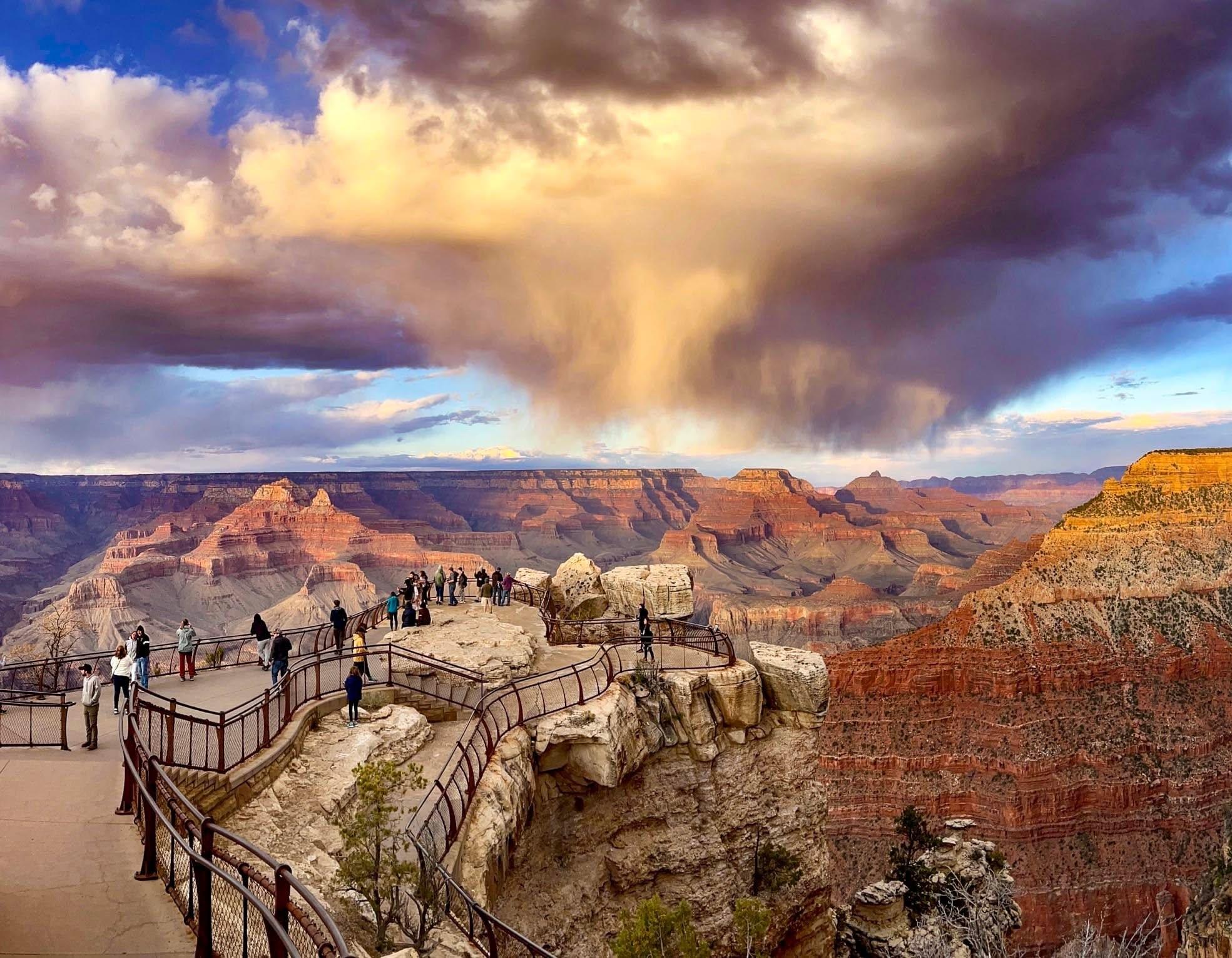
The Bright Angel Trail is the Grand Canyon's most popular corridor trail, dropping from the South Rim near Bright Angel Lodge down toward the Colorado River with shade, seasonal water and clearly spaced rest houses that make it the safest place for most people to take their first steps below the rim. You do not need a permit to day hike it. What you do need is a realistic turnaround point, because every mile down is a harder mile back up.
Where does the Bright Angel Trail start?
The trailhead sits on the South Rim just west of Bright Angel Lodge, at roughly 6,850 feet, a short walk from the free village shuttle stops and the Grand Canyon Village parking areas. Because it begins in the middle of the developed village rather than at a remote pullout, it is far easier to reach than the South Kaibab trailhead, which requires a shuttle ride. If you are still deciding where to base yourself, our one day in Grand Canyon itinerary maps out how the trail fits into a single-day visit.
How far should you hike on the Bright Angel Trail?
The trail is built around a series of natural stopping points, and choosing one before you start is the single most useful thing you can do:
1.5-Mile Rest House — about 3 miles round trip, roughly 1,100 feet of climbing on the return. A genuinely doable half-day for most reasonably fit hikers.
3-Mile Rest House — about 6 miles round trip and around 2,100 feet back up. This is a serious hike, not a stroll.
Havasupai Gardens — about 9.5 miles round trip and roughly 3,000 feet of ascent. A long day even in cool weather.
Plateau Point — about 12 miles round trip via a spur from Havasupai Gardens, with a dramatic overlook of the Colorado River. Experienced hikers in cool months only.
The Colorado River itself is roughly 9.5 miles down. The National Park Service actively discourages hiking from rim to river and back in one day, and that advice is worth taking literally. If reaching the river is the goal, plan an overnight trip instead — our rim-to-rim guide covers the permits and logistics.
Why is the return so much harder than the descent?
Every canyon hike is an inverted mountain: you get the easy half first. A hiker who feels strong at the 3-Mile Rest House has already spent the cheap part of the day and now faces 2,100 feet of climbing, usually in rising heat, with tired legs. The standard planning rule is to allow roughly twice as long for the climb out as the descent took, and to turn around when you have used one third of your total energy and water — not one half.
Is there water on the trail?
Seasonal water is typically available at the rest houses and at Havasupai Gardens during the warmer months, but the pipeline that supplies it has a long history of breaks and scheduled repairs, and taps are shut off in winter. Never plan a hike that depends on refilling. Check the current-year water status on the park's website the morning you hike, and carry enough to get yourself back up if every tap is dry. Salty snacks matter as much as the water itself on long descents.
When is the best time to hike it?
Spring and autumn are the sweet spot: the rim is pleasant and the inner canyon is warm rather than dangerous. Summer is the hardest season, because inner-canyon temperatures routinely pass 100°F while the rim still feels mild — hikers regularly misjudge this. In summer, start at first light and be back above the 1.5-Mile Rest House before midday. Winter brings a different problem: the upper switchbacks hold ice and traction devices are close to mandatory. Our guide to the best time to visit Grand Canyon National Park breaks the seasons down in more detail, and the Grand Canyon National Park page has current conditions and alerts.
What should you know before you go?
Mule trains use this trail daily and always have the right of way: step to the inside wall, stand still, and follow the wrangler's instructions. Cell service below the rim is unreliable, so tell someone your turnaround plan. Trekking poles save a surprising amount of knee wear on the descent. And if you would rather spread the effort across several shorter trails, our roundup of the best hikes in Grand Canyon National Park and our Arizona national parks guide offer gentler alternatives.
FAQ
Do you need a permit to hike the Bright Angel Trail?
No permit is required for day hiking. An overnight stay below the rim, including Bright Angel Campground and Havasupai Gardens Campground, requires a backcountry permit, and Phantom Ranch beds are assigned by lottery. Check the current-year permit rules before planning an overnight.
How long does the Bright Angel Trail take?
Budget about two hours round trip to the 1.5-Mile Rest House, four to five hours to the 3-Mile Rest House, and a full day of eight hours or more to Havasupai Gardens. Heat, crowds on the upper switchbacks and your own pace all push these numbers up.
Is the Bright Angel Trail dangerous?
The trail itself is wide, well graded and well maintained. The risk is almost entirely heat, dehydration and overestimating your return. Hikers who turn around early and carry enough water rarely have trouble.
Bright Angel or South Kaibab: which trail is better?
Bright Angel is the better day hike because it has shade, seasonal water and rest houses, and you can reach it on foot from the village. South Kaibab is steeper, more exposed and has no water, but delivers wider views faster. Many rim-to-river hikers descend South Kaibab and climb out on Bright Angel.
Can you hike the Bright Angel Trail in winter?
Yes, and the inner canyon is pleasant then, but the top two miles are frequently icy from roughly November through March. Microspikes or similar traction devices are strongly recommended, and water is usually turned off.