
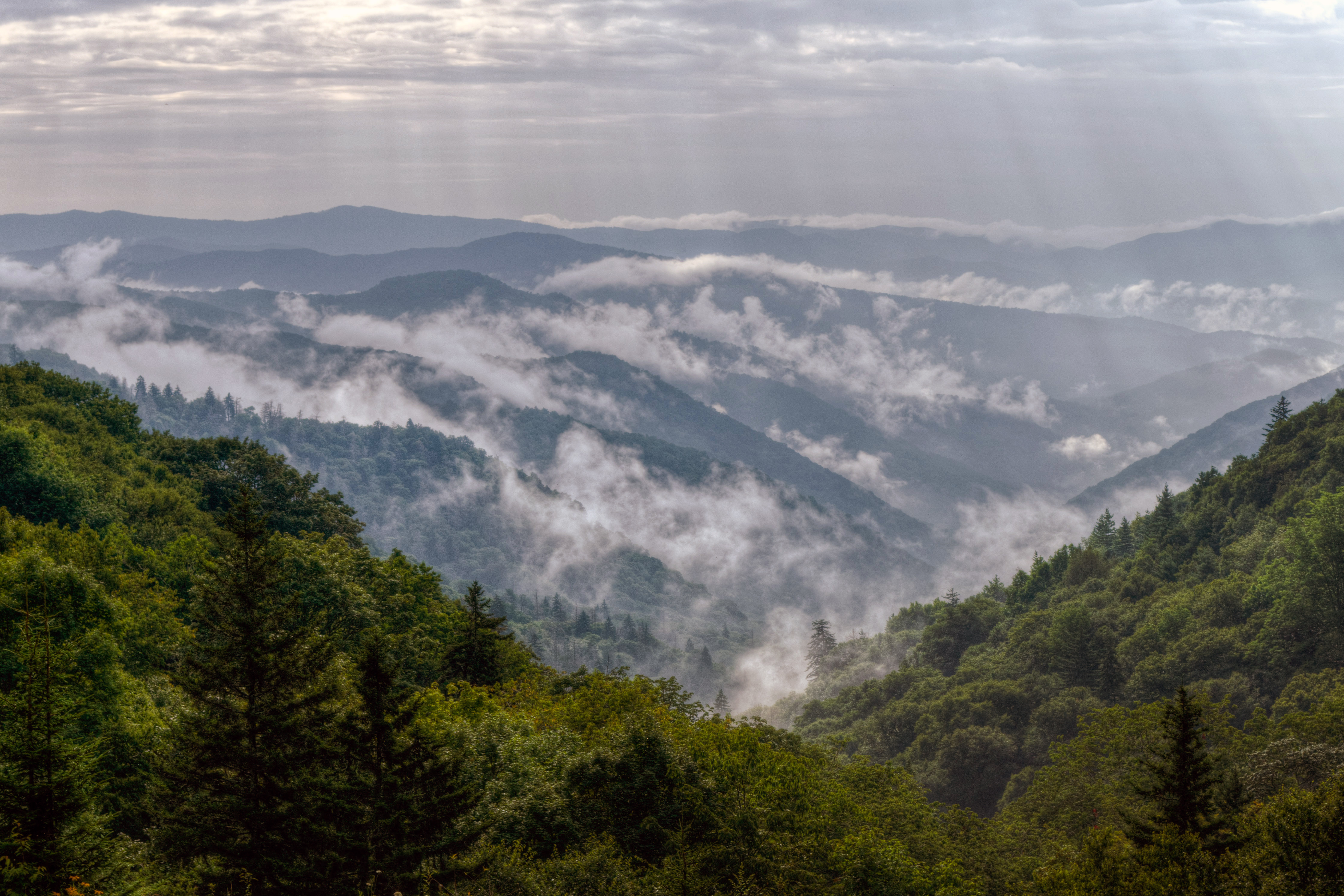
The Alum Cave Trail is the shortest, steepest and most scenic of the five hiking routes to the summit of Mount LeConte in Great Smoky Mountains National Park, climbing roughly 2,800 feet over about five miles one way. Most hikers, though, turn around at the Alum Cave Bluffs at 2.3 miles, which delivers the trail's best-known landmarks for less than half the effort. The trailhead sits directly on Newfound Gap Road (US-441) on the Tennessee side, which is exactly why its parking lots fill before sunrise.
How long and how hard is the Alum Cave Trail?
There are two honest versions of this hike. To the Alum Cave Bluffs it is about 4.6 miles round trip with roughly 1,200 feet of gain — a steady, moderate climb that most reasonably fit hikers finish in three to four hours. To the summit of Mount LeConte it is about 10 miles round trip with roughly 2,800 feet of gain, and you should plan six to eight hours. The upper half is where the trail earns its reputation: narrow ledges blasted into rock, steel cables bolted to the cliff face for handholds, and long exposed stretches.
What do you actually see along the way?
The trail is unusually rich in landmarks for its length. The first mile follows Alum Cave Creek through old-growth hardwood and a log-bridge crossing. At about 1.4 miles you reach Arch Rock, a natural stone arch you climb directly through on stone steps cut into the rock — the most photographed feature on the lower trail. Roughly half a mile further, Inspiration Point opens the first big view across the valley toward Little Duck Hawk Ridge, a rock fin with visible eye-shaped holes. At 2.3 miles you arrive at the Alum Cave Bluffs themselves.
Is Alum Cave actually a cave?
No, and this surprises a lot of first-time hikers. It is a concave overhanging bluff roughly 80 feet high, not a cave you enter. The ground beneath it stays dry and dusty even in rain, and in winter the dripline produces large icicles. The name comes from a 19th-century mining operation on the site that extracted alum and saltpeter. Treat it as a dramatic shelter and viewpoint rather than a cave system.
Where do you park, and how early should you arrive?
The trailhead has two roadside lots along Newfound Gap Road about 8.6 miles south of the Sugarlands Visitor Center. Combined they hold well under a hundred cars, and on summer and fall weekends they fill by 7 or 8 a.m. Roadside parking along US-441 is restricted, and the park now requires a parking tag for vehicles left more than 15 minutes — read our Great Smoky Mountains parking tag guide and confirm the current-year fees and rules before you go. Arriving at first light is the reliable strategy.
What are winter conditions like?
This is the most important safety point on the trail. The upper section above Alum Cave Bluffs holds ice from roughly late November into April, and the cable-assisted ledges become genuinely dangerous when glazed. Microspikes are effectively mandatory in those months, and many experienced hikers turn around at the bluffs rather than continue. Newfound Gap Road itself closes during winter storms, which can strand the trailhead entirely — check road status the morning you go.
How does it compare to the other Mount LeConte trails?
Five trails reach LeConte: Alum Cave, Rainbow Falls, Bullhead, Trillium Gap and the Boulevard. Alum Cave is the shortest and steepest, with the most scenery per mile, which is why it carries the heaviest traffic. Rainbow Falls is longer and passes the park's tallest single-drop waterfall. Trillium Gap goes by Grotto Falls and is the gentlest grade. If you want one route and one day, Alum Cave is the pick — see how it stacks up against the park's other options in our roundup of the best hikes in Great Smoky Mountains.
Can you stay overnight on Mount LeConte?
Yes, at LeConte Lodge, a rustic cabin operation near the summit with no road access — everything arrives by llama train. Beds are allocated by a competitive lottery well in advance, and there is also a backcountry shelter near the summit that requires a permit. Check the current-year lottery dates and permit rules; neither can be arranged on short notice.
FAQ
How long does the Alum Cave Trail take?
Three to four hours round trip to the Alum Cave Bluffs, and six to eight hours round trip if you continue to the summit of Mount LeConte.
Is the Alum Cave Trail safe for kids?
The section to Arch Rock and the bluffs is manageable for steady older children, though there are drop-offs. The cable-and-ledge section above the bluffs is not recommended for young children or anyone uneasy with exposure.
Do you need a permit to hike Alum Cave Trail?
No permit is needed for a day hike, but you do need a paid parking tag to leave a vehicle at the trailhead for more than 15 minutes. Overnight stays at LeConte require a lodge reservation or a backcountry permit.
Is there water on the Alum Cave Trail?
The trail follows creeks for the first mile or so, but there is no treated water anywhere on the route. Carry at least two liters per person for the bluffs and more for the summit.
When is the best time to hike Alum Cave Trail?
Late spring and early fall offer the best combination of clear conditions and comfortable temperatures. Mid-October brings peak color and peak crowds; winter is quiet but requires traction gear.
For park basics and current conditions, see our Great Smoky Mountains National Park page, our one day in the Smokies itinerary, and the wider roundup of national parks in Tennessee.