
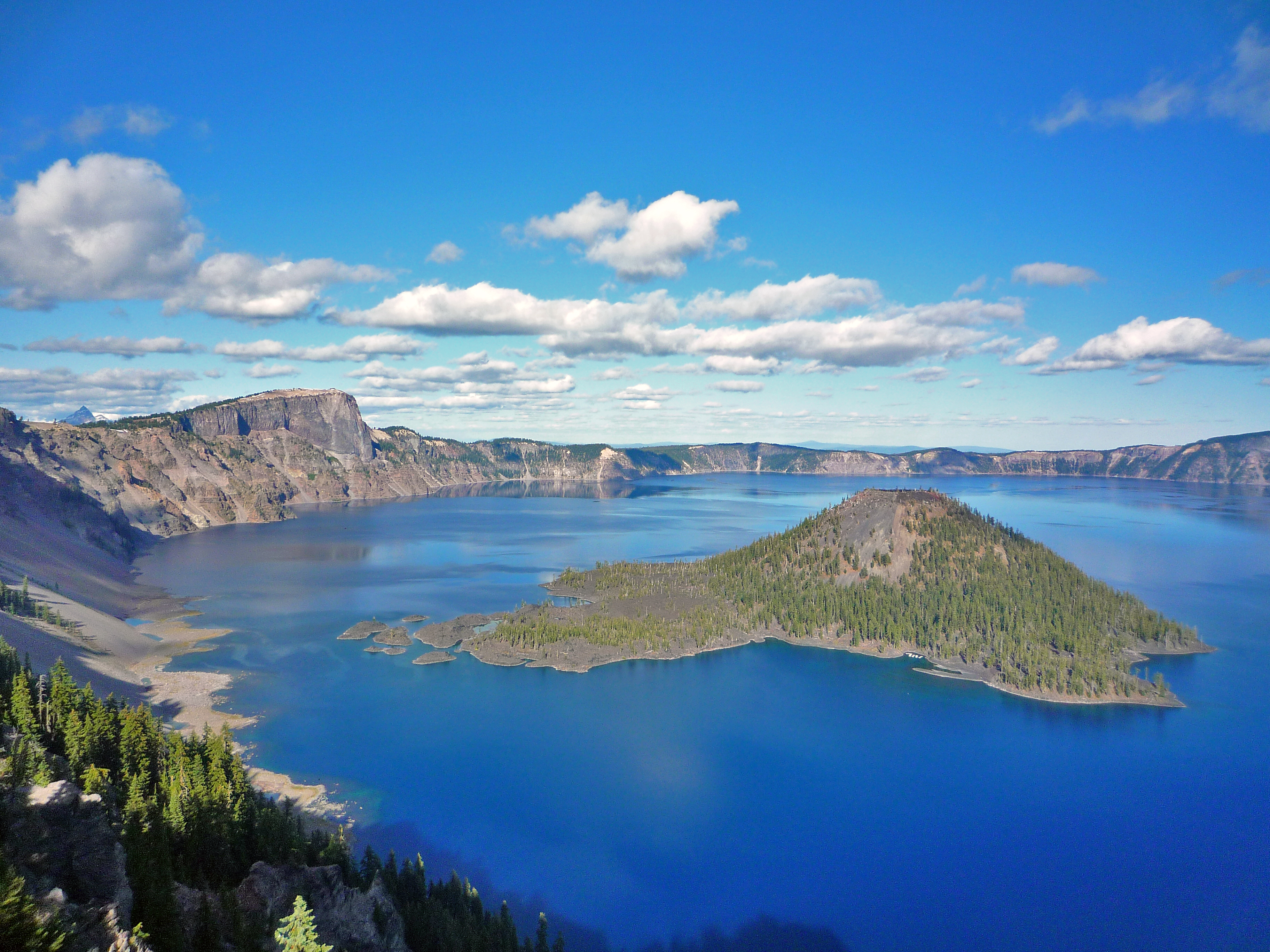
The best hikes in Crater Lake National Park are shorter than most people expect and steeper than the mileage suggests. Nearly everything starts above 7,000 feet on the caldera rim, so a 3-mile trail here works your lungs like a 6-mile trail at sea level. The other thing to know before booking: snow, not distance, is what usually decides your itinerary.
When are the trails actually open?
Crater Lake averages more than 40 feet of snow a year. Rim Drive typically does not open fully until early July, and higher trails can hold snow into mid-July. Peak trail season runs roughly July through mid-October. If you visit in June, expect the west rim to be open and much of the east rim closed. Always check the current-year road and trail status before you drive up.
Garfield Peak Trail
About 3.4 miles round trip with roughly 1,000 feet of gain, starting behind Crater Lake Lodge. This is the best effort-to-payoff ratio in the park. The trail climbs steadily along the rim, opening progressively wider views of the lake and Wizard Island, and finishes on a summit that looks straight down into the caldera. Wildflowers peak here in late July and early August.
Mount Scott Trail
About 4.4 miles round trip, roughly 1,250 feet of gain, topping out at 8,929 feet, the highest point in the park. The trailhead sits on the east side of Rim Drive, which means it is one of the last to open each summer. From the fire lookout at the top you can see the entire caldera plus Mount Thielsen and, on clear days, Mount Shasta. Start early; there is no shade.
Cleetwood Cove Trail
About 2.2 miles round trip with 700 feet of gain, and the only legal route down to the water. This is also the trail that has been subject to multi-year rehabilitation closures, so confirm its current-year status before you plan a swim or a boat tour around it. When open, it is the only access point for Wizard Island boat trips. The climb back out is short but genuinely steep.
Watchman Peak Trail
About 1.6 miles round trip and 400 feet of gain to a historic fire lookout on the west rim. The shortest of the big-view hikes and the classic sunset choice, since it faces the lake with the sun behind you. Popular, so the small trailhead lot fills fast in the evening.
What are the easy options?
Plaikni Falls is about 2 miles round trip, nearly flat, on a wheelchair-accessible surface for much of its length, ending at a spring-fed waterfall in old-growth forest. Godfrey Glen Loop is a 1-mile stroll through pumice canyon scenery. Discovery Point is 2.6 miles round trip along the rim from Rim Village, easy to shorten at any point. All three are good acclimation hikes for a first afternoon.
How does Crater Lake compare to nearby parks?
Crater Lake is a one-to-two-day park; it does not have the trail mileage of Olympic or Mount Rainier. Many visitors pair it with Lassen Volcanic to the south or Redwood on the coast. Our Crater Lake vs Lassen Volcanic comparison covers that decision in detail.
FAQ
Can you swim in Crater Lake?
Yes, but only at Cleetwood Cove, the single legal shoreline access point. The water sits near 55 degrees F even in August.
What is the hardest hike in the park?
Mount Scott, on elevation and exposure. Cleetwood Cove is shorter but the return climb is steeper per mile.
Do I need a permit to day hike?
No day-hiking permit is required. Backcountry overnight trips need a wilderness permit. Check the current-year rules, as requirements are reviewed annually.
How many days do I need?
Two full days covers Rim Drive plus two or three of the hikes above. One day is enough for Rim Drive and a single rim hike.
Where can I plan the rest of the trip?
See the park page for Crater Lake National Park, browse other Oregon sites, or start from our park directory and state index.