
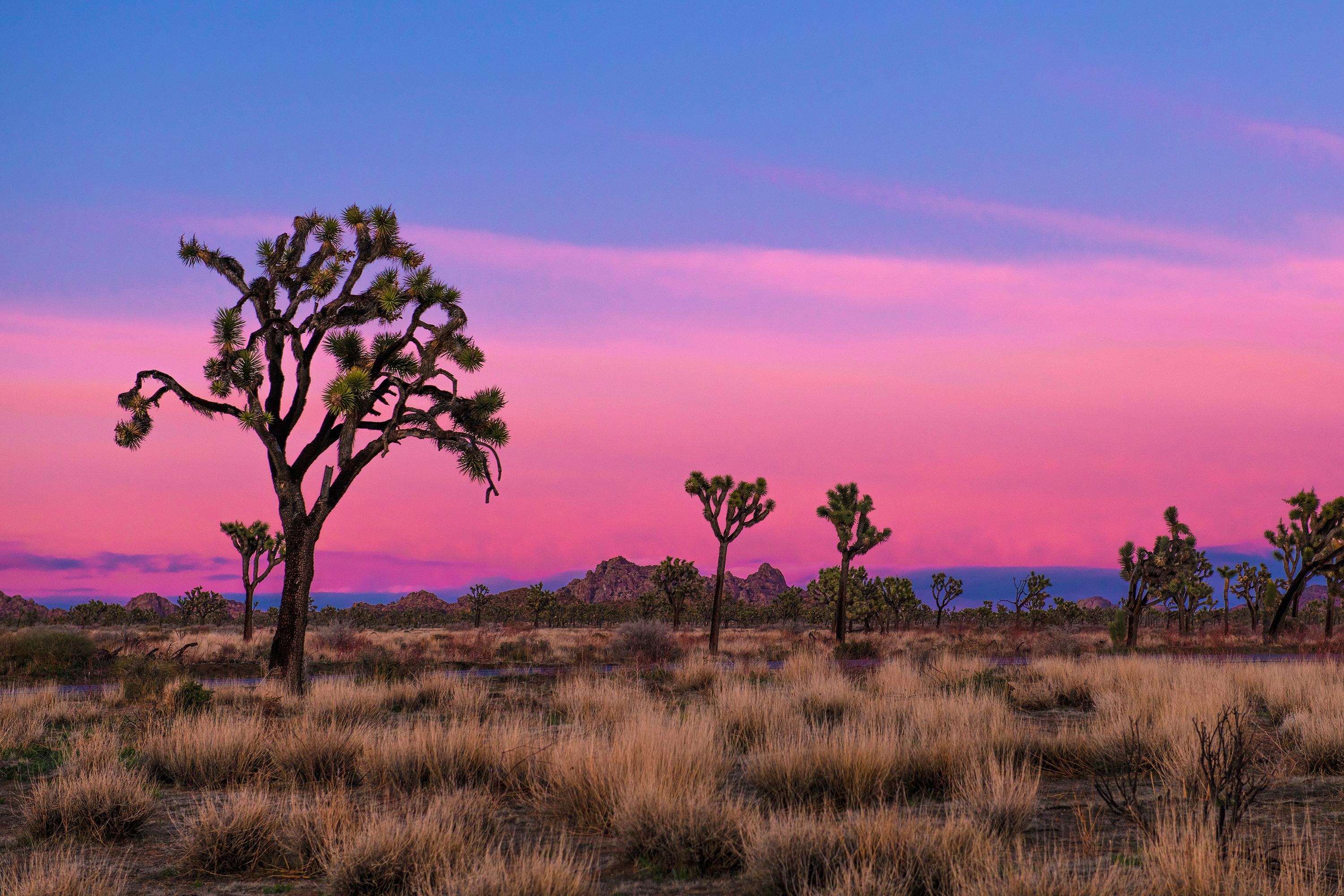
One day in Joshua Tree National Park is enough to see the park's best-known landscapes if you drive it west to east and start early — enter at the West Entrance near the town of Joshua Tree, work your way through the boulder country of the high Mojave, then drop into the Colorado Desert and exit at Cottonwood. That single direction of travel is the whole trick: it keeps you moving with the light instead of backtracking 40 miles at the end of the day.
What is the best route for one day in Joshua Tree?
Park Boulevard and Pinto Basin Road form a rough L shape across the park. Driving west-to-east means you hit the dense Joshua tree forests and rock formations in the cool morning hours, cross the transition zone around midday, and finish in the low desert. Total driving distance is roughly 55 miles inside the park, but plan on 7 to 9 hours with stops — the speed limits are low and the pullouts are frequent.
If you are staying in Palm Springs or Indio instead, reverse it: enter at Cottonwood in the south and end your day at Hidden Valley. The stops stay the same; only the order flips.
How should I structure the morning?
Aim to be through the West Entrance station by 8 a.m. Lines there can stretch 20 minutes or more on spring weekends, and every minute you lose at the gate comes off the end of your day.
Start at Hidden Valley Nature Trail, a one-mile loop through a bowl of monzogranite that cattle rustlers reportedly used as a natural corral. It is the single best short walk for understanding why this park looks the way it does. From there, Barker Dam adds another 1.3-mile loop with petroglyphs and, in wet years, a small reservoir that reflects the rock walls.
Then drive the six-mile spur to Keys View. On a clear morning you can see the San Andreas Fault line, the Salton Sea, and — on genuinely rare days — Signal Mountain in Mexico. Haze builds through the afternoon, so this is a morning stop, not an evening one.
What should I do in the middle of the day?
Midday heat is the real constraint here. From May through September, surface temperatures on exposed granite routinely exceed what is comfortable for hiking, and rangers see heat-related incidents every season. Use these hours for driving and short stops.
Skull Rock sits directly on Park Boulevard with a pullout — five minutes, no hiking required. Arch Rock, reached from the Twin Tanks parking area, is a half-mile walk to a 30-foot granite arch. If you want one substantial hike and the weather is cool, Ryan Mountain climbs 1,050 feet in 1.5 miles to the best 360-degree view in the park; budget two hours.
What makes the eastern half worth the drive?
Most one-day visitors turn around at Skull Rock and miss the part of the park that shows you what the Colorado Desert actually is. Pinto Basin Road descends about 2,000 feet, and the Joshua trees simply stop appearing.
Cholla Cactus Garden is the payoff: a quarter-mile boardwalk loop through thousands of teddybear cholla that glow when backlit. Go late in the day and stay on the path — the cholla segments detach on contact and are genuinely painful to remove. Ocotillo Patch, a few miles further, is a two-minute stop that blooms scarlet after spring rain.
Where is the best sunset spot?
Save Cap Rock or the Hidden Valley picnic area for last if you are exiting west, or Cholla Cactus Garden if you are heading south to Cottonwood. Cholla at sunset is the more distinctive photograph; Cap Rock is the easier exit. Bring a headlamp either way — there are no lights on Park Boulevard, and the drive out after dark takes longer than you expect.
What should you know before you go?
There is no gas, no food service, and essentially no cell signal inside the park boundaries. Fill your tank in Joshua Tree, Twentynine Palms, or Indio, and carry at least one gallon of water per person. Download offline maps before you lose signal at the gate.
Entrance fees, timed-entry rules, and campground reservation windows change — check the current-year rules on the park's official page before you drive out. If you have a second day, the natural pairings are Death Valley National Park to the north or Saguaro National Park east in Arizona. You can browse every park by name on our parks directory or plan a wider trip through the California national parks guide and the full state-by-state index.
FAQ
Is one day enough for Joshua Tree National Park?
Yes, for the headline sights. One well-planned day covers Hidden Valley, Keys View, Skull Rock, Arch Rock, and Cholla Cactus Garden. Two days lets you add Ryan Mountain, Lost Horse Mine, and the Black Rock or Cottonwood areas without rushing.
What is the best time of year for a one-day Joshua Tree trip?
October through April. March and April bring wildflowers and the most comfortable hiking temperatures, but also the heaviest weekend traffic. Summer days regularly exceed 100°F, which makes a full-day itinerary unrealistic.
How long does it take to drive through Joshua Tree?
Driving straight through from the West Entrance to Cottonwood takes about 1 hour 45 minutes without stopping. With the stops in this itinerary, plan 7 to 9 hours.
Do you need a reservation to enter Joshua Tree?
Joshua Tree has not used a timed-entry reservation system for general park entry, unlike some other parks. Campgrounds do require reservations for much of the year. Check the current-year rules before you go.
Which entrance should I use for a one-day visit?
The West Entrance near the town of Joshua Tree puts you closest to the highest concentration of stops. The North Entrance at Twentynine Palms is usually less crowded and joins the same route within 15 minutes.