
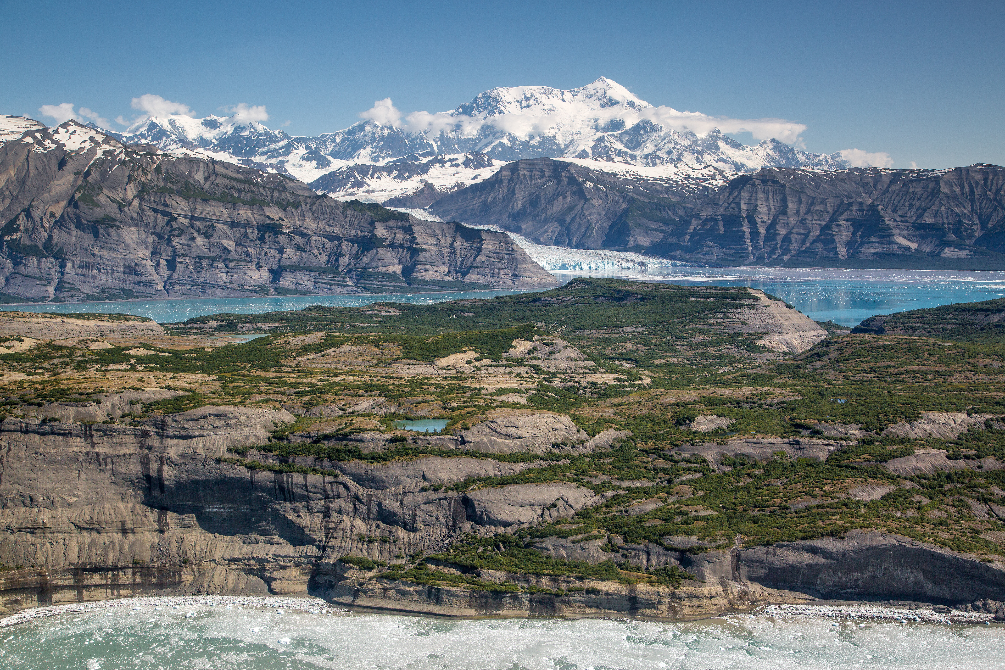
The best hikes in Wrangell-St. Elias National Park are concentrated in two small pockets of an enormous wilderness: the Kennecott area at the end of the McCarthy Road, and the handful of trailheads along the Nabesna Road. At 13.2 million acres this is the largest national park in the United States, bigger than Yellowstone, Yosemite and Switzerland combined, yet it has fewer maintained trails than a mid-sized park in the lower 48. That is the whole character of the place, and it changes how you plan.
Which hike should you do first in Wrangell-St. Elias?
Root Glacier Trail, without much argument. It runs roughly 4 miles round trip from the Kennecott mill town along a well-graded former mining bench, then delivers you onto the white ice of the Root Glacier itself. Walking on the glacier is the point, and it is one of the few places in the national park system where you can step from a maintained trail directly onto flowing ice without a guide.
Bring microspikes or rent them in McCarthy. The lateral moraine is loose and the ice near the margin is slick and pitted with moulins. Stay away from any hole you cannot see the bottom of, and if you want to venture far onto the glacier or look into an ice cave, go with a guide service. From the McCarthy road-end footbridge it is about 6 miles round trip if you walk rather than take the shuttle up to Kennecott.
What is the best hard day hike?
Bonanza Mine Trail is the classic sufferfest: about 9 miles round trip from Kennecott with roughly 3,800 feet of elevation gain, most of it on an old mining road that climbs relentlessly through spruce and then above treeline into alpine tundra. The payoff is the wrecked Bonanza Mine bunkhouse clinging to the ridge at 6,000 feet, with the Root and Kennicott glaciers unrolling below you and the Chugach on the horizon.
Allow eight to ten hours and start early. There is no water for most of the climb, and the upper section is fully exposed to weather that can turn without warning. Jumbo Mine Trail, its neighbour, is slightly longer and steeper at roughly 10 miles and 3,900 feet, and sees far fewer people.
Are there good hikes off the Nabesna Road?
The Nabesna Road on the park's north side is 42 gravel miles and almost nobody drives it, which is exactly the appeal. Skookum Volcano Trail, at about mile 36, is the standout: roughly 5 miles round trip and 2,500 feet of gain up a dry creek bed through the eroded guts of an extinct volcano, ending at a windy pass with Dall sheep on the slopes above.
Caribou Creek Trail near mile 19.5 runs about 6 miles round trip to a first-come public-use cabin and makes a relaxed overnight. Trail Creek and Lost Creek, further along, are unmaintained routes rather than trails and involve real creek fords; treat them as backcountry travel, not hiking, and talk to a ranger about current water levels first.
How do you actually get to the trailheads?
Two gravel roads penetrate the park and neither is quick. The McCarthy Road is 60 miles from Chitina and takes two to three hours; it ends at a footbridge, and you leave your vehicle there and walk or shuttle the last stretch into McCarthy and Kennecott. Many rental car agreements prohibit driving it, so check yours before you book. The Nabesna Road leaves the Tok Cutoff at Slana and has several fords that become impassable after heavy rain.
Wrangell-St. Elias charges no entrance fee. Backcountry camping does not require a permit, though the park asks you to file a voluntary itinerary. Bear-resistant food containers are strongly recommended and are loaned free at visitor centres — check the current-year rules before you rely on that.
When is the best time to hike here?
Mid-June through early September. Root Glacier is safest and most walkable in July and August once the winter snow bridges have melted out and the crevasses are visible. Late August brings tundra colour on the Bonanza climb and the first hard frosts knock the mosquitoes back. Both park roads are effectively closed to ordinary vehicles outside summer, and Kennecott services shut down by late September.
If you are building a wider Alaska itinerary, compare notes with Denali, Kenai Fjords and Glacier Bay, or start from the Alaska state guide and the full national park directory.
FAQ
What is the most popular hike in Wrangell-St. Elias?
Root Glacier Trail, roughly 4 miles round trip from Kennecott. It is the park's signature hike because it ends on the surface of an active glacier that you can walk on with microspikes.
How many maintained trails does Wrangell-St. Elias have?
Only about a dozen, split between the Kennecott area and the Nabesna Road. For a park of 13.2 million acres that is almost nothing — most travel here is off-trail route-finding rather than hiking.
Do you need a permit to hike in Wrangell-St. Elias?
No permit is required for day hiking or backcountry camping, and the park has no entrance fee. Filing a voluntary trip itinerary with a visitor centre is encouraged. Check the current-year rules before you travel.
Can you hike on Root Glacier without a guide?
Yes, near the margin, with microspikes and sensible route choice. Ice caves, deep crevasse fields and anything requiring a rope call for a licensed guide out of McCarthy or Kennecott.
Is Wrangell-St. Elias bear country?
Very much so — both grizzly and black bears are common on every trail described here. Carry bear spray, make noise on brushy sections, and store food in a bear-resistant container.