
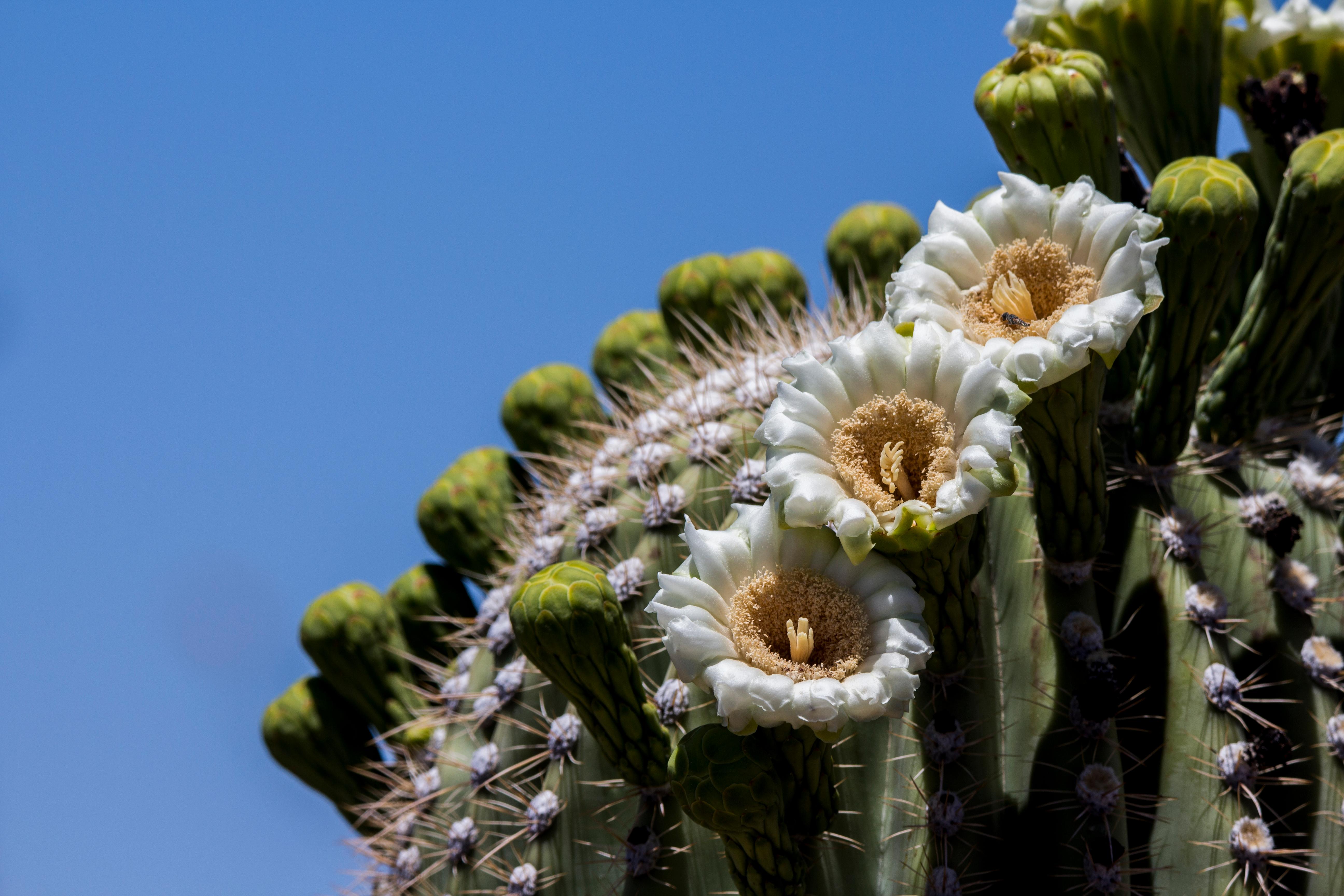
The best hikes in Saguaro National Park take you straight into the heart of the Sonoran Desert, where forests of giant saguaro cacti stand like sentinels against rugged mountains. Split into two districts on either side of Tucson, Saguaro offers everything from flat cactus-forest strolls to steep summit climbs. These are the trails to prioritize on a trip to southern Arizona.
What is the best easy hike in Saguaro?
In the western Tucson Mountain District, the Valley View Overlook Trail is a short walk to a broad vista over a dense saguaro forest, and the nearby Signal Hill Trail leads to ancient Hohokam petroglyphs. In the eastern Rincon Mountain District, the Desert Discovery and Mica View trails offer flat, interpretive loops perfect for families and first-time desert hikers.
What is the best hike for a workout?
Wasson Peak is the classic summit hike in the west district, climbing through cactus and rocky slopes to the range's high point with panoramic views over Tucson and the desert. In the east, Tanque Verde Ridge climbs steadily along an exposed spine for expansive scenery. Both are strenuous, especially in the heat, so start at dawn and carry ample water.
What is the best hike to see saguaros up close?
The Cactus Forest Trail in the Rincon Mountain District winds through some of the park's densest stands of saguaro, ideal for photography in soft morning or evening light. Douglas Spring Trail climbs gradually from cactus flats toward the mountains, offering a longer immersion in the desert without a technical summit. Watch your footing around spiny plants.
How hot does it get, and how hard are the hikes?
Saguaro ranges from easy paved loops to demanding mountain climbs, but the biggest factor is heat. Summer temperatures regularly top 100 degrees, making midday hikes dangerous. Carry far more water than usual, wear sun protection, and hike early or late. Check the current-year rules and any heat advisories before heading out on longer trails.
How do you plan a Saguaro hiking trip?
Base yourself in Tucson, which sits between the two districts, and plan to visit both since each has a different character. Give yourself two days to combine an easy loop with a summit or ridge hike. For a longer Arizona road trip, pair Saguaro with Grand Canyon to the north or Joshua Tree across the border in California. Always check the current-year rules for road hours.
When is the best time to hike?
Late fall through early spring is by far the best time, with mild days ideal for desert hiking. Spring can bring wildflowers and blooming cactus, while summer is brutally hot and monsoon storms roll in during the afternoons. Winter mornings are crisp and clear, perfect for summit attempts.
FAQ
Does Saguaro have two separate parts?
Yes. Saguaro National Park has two districts on either side of Tucson: the Tucson Mountain District to the west and the Rincon Mountain District to the east. Each has its own trails and entrance.
What is the most popular hike in Saguaro?
Wasson Peak in the west and the Cactus Forest and Valley View trails are among the most popular. Valley View Overlook is the easiest way to see a classic saguaro forest.
Do you need a permit to hike in Saguaro?
Day hikes on established trails do not require a permit, though backcountry camping in the Rincon high country does. Check the current-year rules before planning an overnight trip.What should you bring hiking in the desert?
Carry at least a liter of water per hour, electrolytes, sun protection, and sturdy closed shoes to guard against spines and loose rock. Tell someone your route, since trails can be quiet and cell service spotty. Check the current-year rules and the forecast, and never push a summit hike into the midday heat.
With a little planning around the temperature, Saguaro delivers some of the most iconic desert scenery in the country, all within minutes of a major city.