
The best hikes in Pinnacles National Park string together jagged volcanic spires, shadowy talus caves, and quiet reservoir overlooks, often on a single afternoon loop. This compact California park south of Hollister was born from an ancient volcano split apart by the San Andreas Fault, and its two entrances—east and west—never connect by road, so the trailhead you pick shapes your whole day.
Below is a trail-by-trail guide to help you match a hike to your time, fitness, and whether you want caves, condors, or both. For broader planning, browse our national parks hub and the Pinnacles National Park page.
What is the best overall hike in Pinnacles?
The High Peaks to Bear Gulch loop is the signature Pinnacles hike. Combining the High Peaks Trail with the Condor Gulch Trail makes a roughly 5.3-mile loop with about 1,300 feet of climbing. The steep-and-narrow section near the summit has carved footholds and handrails bolted into the rock—thrilling but not for anyone uneasy with heights. From the top you get the park's widest views and the best odds of spotting California condors riding thermals overhead.
Which Pinnacles hikes go through the talus caves?
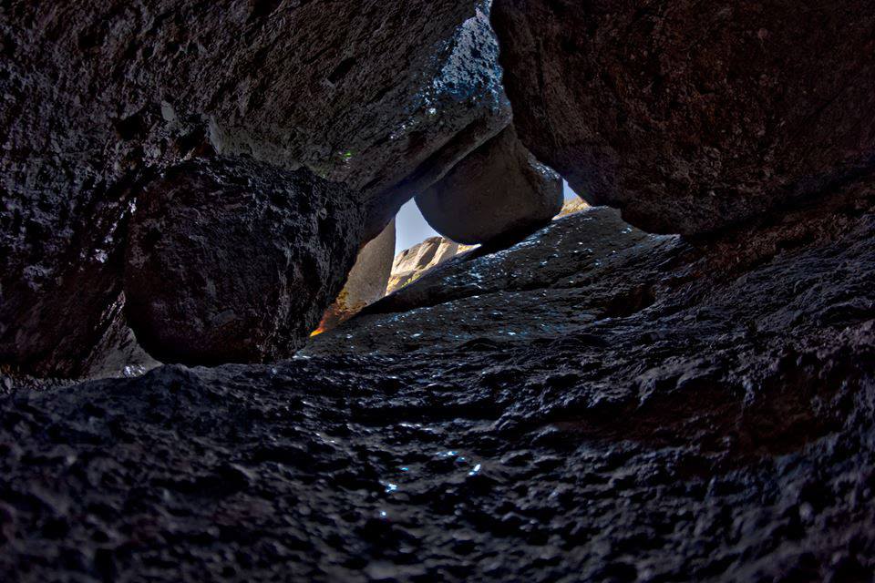
Two cave hikes define the park. On the east side, the Moses Spring–Rim Trail loop (about 2.2 miles) threads through Bear Gulch Cave to a small reservoir; on the west side, the Balconies Cliffs–Cave loop (about 2.4 miles) passes beneath house-sized boulders in Balconies Cave. Bring a headlamp for both, and check the current-year rules before you go—sections of Bear Gulch Cave close seasonally to protect a colony of Townsend's big-eared bats.
What is the best short or easy hike?
For families or a quick leg-stretch, the Prewett Point Trail near the west entrance is a mostly flat, accessible half-mile with interpretive signs and spire views. On the east side, the walk from the Bear Gulch Nature Center to Bear Gulch Reservoir and back is gentle enough for kids yet still delivers a payoff at the water's edge.
Where can I see California condors?
Pinnacles is a release site for the endangered California condor, and the High Peaks are the reliable place to look. Go early, scan the ridgelines, and watch for the wide black wings with white underwing patches and numbered wing tags. Rangers can point you toward recent sightings—condors also sometimes roost near the reservoirs at dusk.
East side or west side—which entrance is better for hiking?
The east entrance (near Hollister) has the visitor center, campground, more parking, and direct access to Bear Gulch Cave. The quieter west entrance (near Soledad) offers a shorter approach to Balconies Cave and the classic spire views at Prewett Point. Because no road links the two, decide in advance—or hike the High Peaks to cross between them on foot. Summer afternoons are brutally hot, so start early and carry more water than you think you need.
How does Pinnacles compare to other California parks?
Pinnacles is small and often overlooked next to its famous neighbors, which makes it a great add-on. Pair it with the granite of Yosemite, the giant trees of Sequoia and Kings Canyon, or the desert boulders of Joshua Tree. See how they all fit together on our California national parks guide.
FAQ
How many days do you need at Pinnacles?
One full day is enough to hike the High Peaks and one talus cave. With two days you can explore both entrances and take a slower pace in summer heat.
Do I need a permit or reservation to hike Pinnacles?
Day hiking does not require a permit, but an entrance fee applies and campground and cave-access rules change seasonally. Check the current-year rules on the official park site before your trip.
Are the talus caves open year-round?
No. Bear Gulch Cave and Balconies Cave close in parts of the year to protect bats or after heavy rain. Verify current cave status before counting on a cave route.
What should I bring for hiking in Pinnacles?
Carry a headlamp for the caves, at least two to three liters of water in summer, sturdy shoes for the rocky High Peaks, and sun protection—shade is scarce on the ridges.