
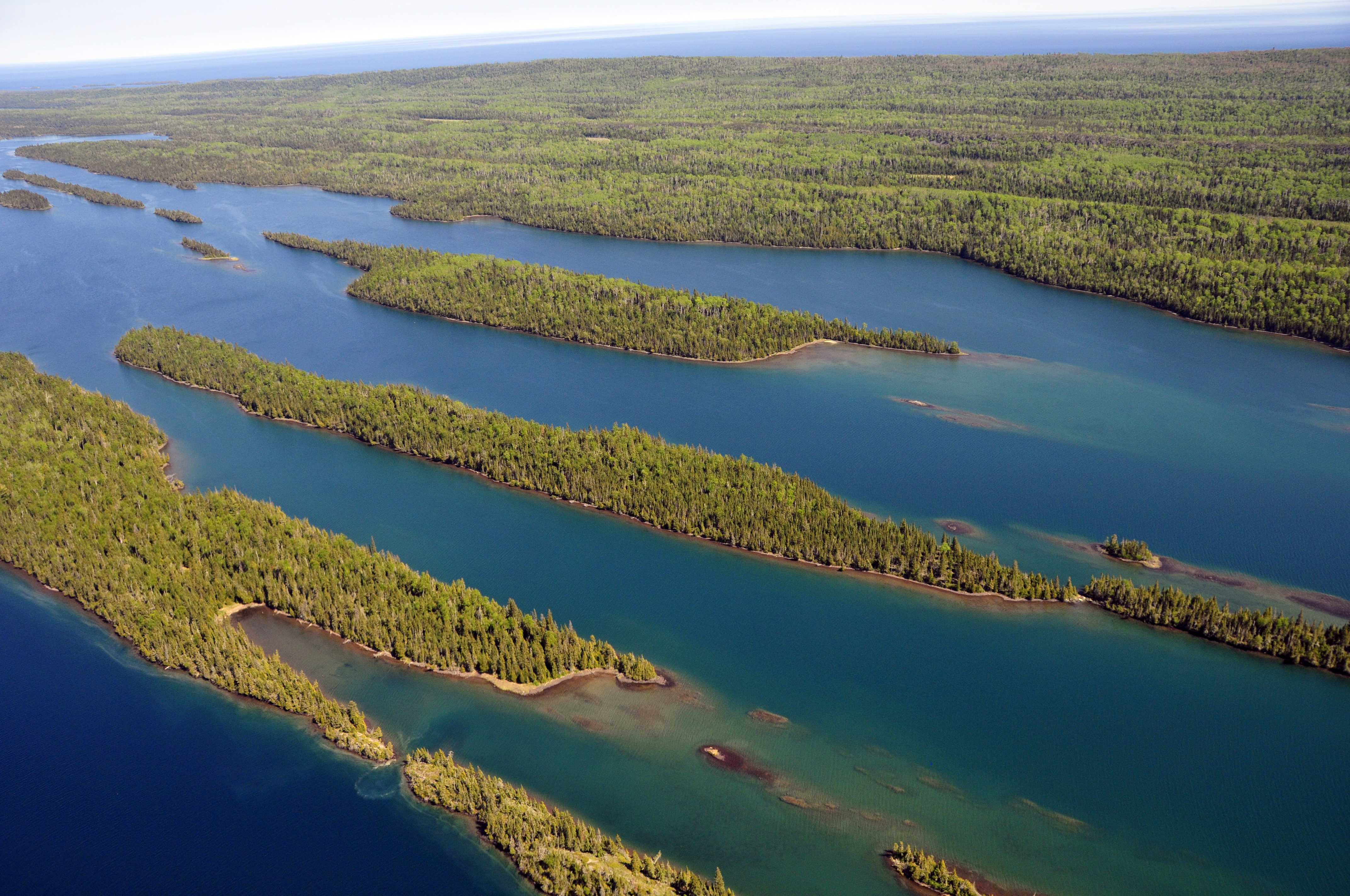
The best hikes in Isle Royale National Park range from easy shoreline strolls near Rock Harbor to the demanding 40-mile Greenstone Ridge Trail that runs the length of the island's rocky spine. Isle Royale is a remote, roadless wilderness archipelago in Lake Superior, reachable only by ferry or seaplane, so every trail here trades crowds for solitude, moose sightings, and sweeping water views.
What are the best day hikes in Isle Royale?
If you have a single day based at Rock Harbor, the Scoville Point Loop (about 4.2 miles) delivers the classic Isle Royale scene: wind-bent spruce, pink rhyolite ledges, and Lake Superior on both sides. The Stoll Trail is a gentler alternative with interpretive signs, while Suzy's Cave follows a 3.8-mile loop to an inland sea arch carved when lake levels were higher. For the biggest payoff-to-effort ratio, take the water taxi to Hidden Lake and climb to Lookout Louise, often called the finest view on the island. None of these day hikes require technical skill, but waterproof boots help on the wet, root-laced tread, and afternoon fog can roll in fast off the lake.
How hard is the Greenstone Ridge Trail?
The Greenstone Ridge Trail is the park's signature backpacking route—roughly 40 miles from Windigo on the west end to Rock Harbor on the east, typically walked over four to five days. It crosses Mount Desor, the island's highest point at 1,394 feet, and links a string of backcountry campgrounds. Most hikers ride the ferry one way and walk back, so plan your transport before you commit to a direction.
Which trails are best for spotting moose and wildlife?
Isle Royale hosts one of the longest-running predator-prey studies in the world, tracking its moose and gray wolf populations for more than six decades. The Feldtmann Lake, Hidden Lake, and Daisy Farm trails skirt marshy shorelines that are prime moose habitat, especially at dawn and dusk. Loons, beavers, and red foxes are common; keep a respectful distance and never feed wildlife. Carrying binoculars turns a quiet lakeshore pause into the highlight of the trip.
When is the best time to hike Isle Royale?
The park is open only from mid-April to late October and closes entirely in winter, making it the least-visited national park in the lower 48. July and August bring the warmest, most reliable weather but also the most black flies and mosquitoes, so pack a head net. Always check the current-year ferry schedules and park hours before booking, since sailings are weather-dependent.
How do I get to Isle Royale and where do trails begin?
Ferries depart from Houghton and Copper Harbor in Michigan and Grand Portage in Minnesota, and a seaplane serves both Rock Harbor and Windigo. All overnight stays require a wilderness camping permit; confirm the current-year permit and fee rules before you go. For more ideas, browse our national parks hub, plan a wider loop through Michigan's national parks, or pair the trip with the paddling trails of Voyageurs or the dunes and forests of Indiana Dunes.
FAQ
What is the most popular hike in Isle Royale?
The Scoville Point Loop near Rock Harbor is the most popular day hike, combining forest, rocky shoreline, and open Lake Superior views in a manageable 4.2-mile circuit.
Do I need a permit to hike Isle Royale?
Day hikers do not need a separate permit, but every overnight backpacker and camper must carry a wilderness camping permit. Check the current-year rules, as group-size and itinerary requirements can change.
How many miles of trails does Isle Royale have?
The park maintains roughly 165 miles of hiking trails plus a network of backcountry campgrounds, enough for anything from a half-day walk to a week-long traverse.
Can you hike Isle Royale in one day?
Yes. Day-trippers arriving by ferry or seaplane can enjoy short loops around Rock Harbor or Windigo, though the island's remoteness rewards those who stay at least one night.