
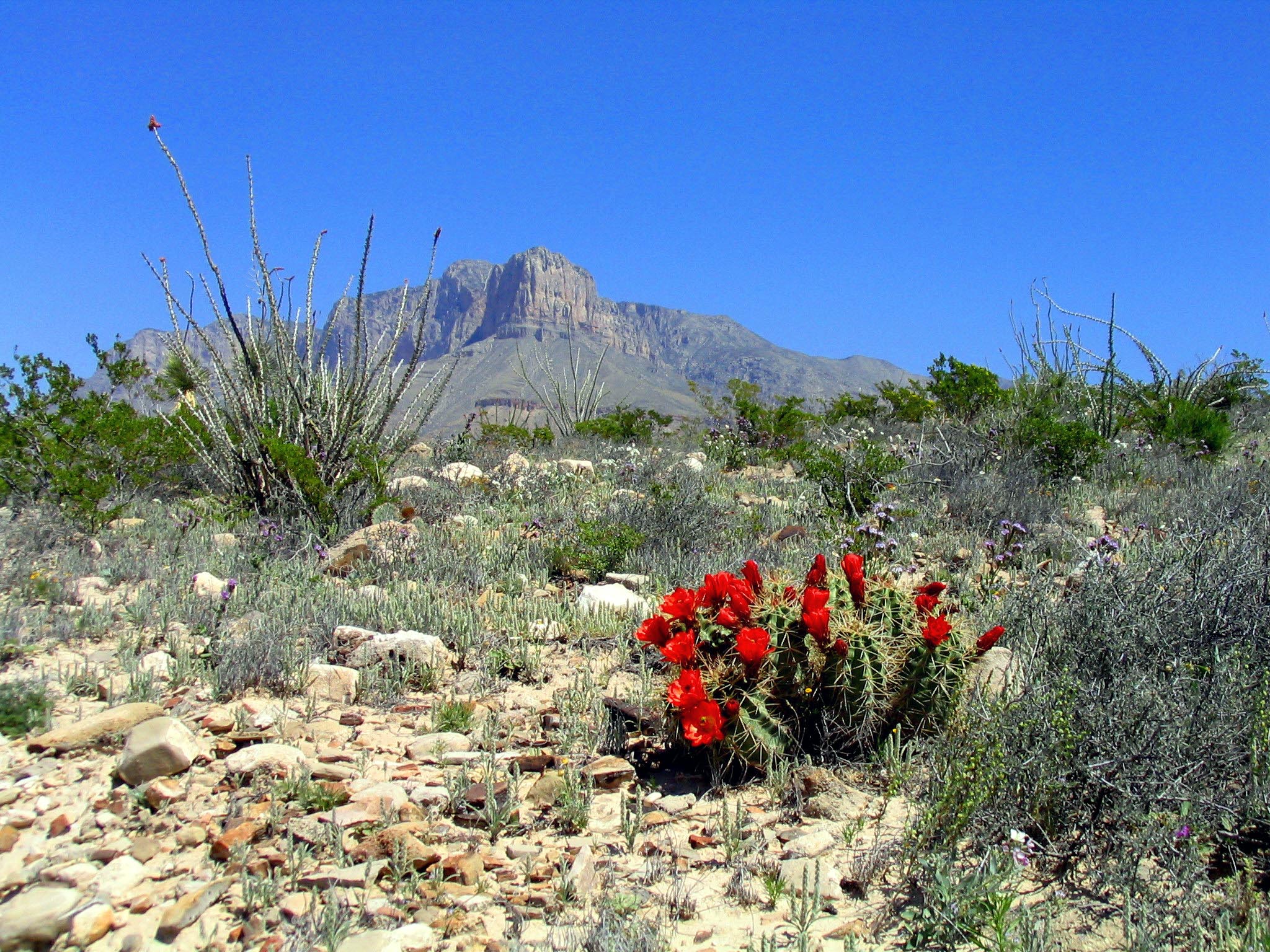
The best hikes in Guadalupe Mountains National Park range from a summit trail up the highest point in Texas to a desert canyon that blazes with fall color, all rising from the Chihuahuan Desert near the New Mexico line. This remote West Texas park protects a fossil reef, four of the state's highest peaks, and some of the darkest night skies in the Lower 48, yet it stays refreshingly uncrowded.
Here is a trail-by-trail guide to match a hike to your time and fitness. For wider planning, start with our national parks hub and the Guadalupe Mountains National Park page.
What is the best hike in Guadalupe Mountains?
Guadalupe Peak Trail is the park's headline hike and a Texas bucket-list climb. The out-and-back runs about 8.4 miles with roughly 3,000 feet of gain to the 8,751-foot summit, the highest point in the state. Expect switchbacks through pinyon and pine, a footbridge, and a final ridge with big exposure to wind. Most hikers need six to eight hours round trip, so start early and carry plenty of water.
Which hike has the best fall colors?
McKittrick Canyon is famous for autumn foliage, when bigtooth maples and velvet ash turn gold and crimson against the limestone walls. The walk to Pratt Cabin is about 4.8 miles round trip and mostly gentle; continuing to the Grotto adds a scenic payoff. Peak color usually lands late October into early November, but check the current-year rules and gate hours, since this trail closes at a set time each day.
What is a good short hike in the park?
Devil's Hall Trail is a roughly 3.8-mile round trip that scrambles up a rocky wash to a natural staircase and a narrow rock corridor. It is more adventurous than long, with boulder-hopping that kids often love. Near the Pine Springs trailhead, the short Pinery Trail is a paved, accessible path to the ruins of a Butterfield stagecoach station.
Are there hikes for big views without the summit climb?
Yes. The Smith Spring loop (about 2.3 miles) leads to a shaded desert oasis where wildlife gathers at a spring. For a longer high-country day, the Bowl and Bear Canyon loops climb into a cool conifer forest that feels transported from the Rockies. El Capitan, the park's iconic prow of rock, anchors the view from many trails and the campground.
How do I plan a trip around Guadalupe Mountains?
The park pairs naturally with nearby Carlsbad Caverns, about 40 minutes north across the New Mexico border, and with Big Bend on a bigger West Texas loop. Compare your options on our Texas national parks guide and New Mexico guide. There are no restaurants, gas, or lodging in the park, so stock up before you arrive.
What should I know before hiking here?
Guadalupe Mountains is a wilderness park with no shade on many trails and notoriously strong winds—gusts over 60 mph are common in spring. Cell service is unreliable, so download maps in advance and tell someone your plan. Sturdy boots help on the loose rock of Guadalupe Peak and Devil's Hall, and layers matter because temperatures swing sharply between the desert floor and the high country. Rangers at the Pine Springs Visitor Center can advise on trail and weather conditions the morning of your hike.
FAQ
How long does it take to hike Guadalupe Peak?
Most hikers take six to eight hours round trip for the 8.4-mile trail. Begin at first light in warm months to avoid afternoon heat and wind on the exposed summit ridge.
When is the best time to hike Guadalupe Mountains?
Spring and fall are ideal. Late October to early November brings McKittrick Canyon's foliage, while summer is very hot and winter can deliver snow and fierce wind on the peaks.
Do I need a permit to hike in the park?
Day hikes require an entrance fee but no permit; backcountry camping does require a permit. Check the current-year rules and McKittrick Canyon gate hours before you go.
Is there water on the trails?
No reliable drinking water exists on the trails, and springs are not potable. Carry at least a gallon per person for the Guadalupe Peak climb in warm weather.