
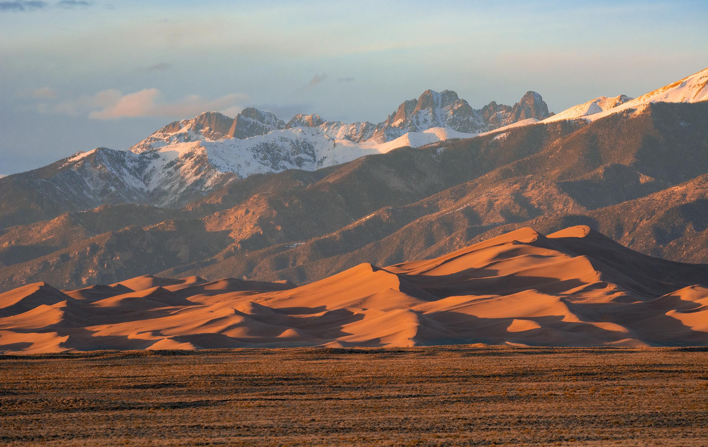
The best hikes in Great Sand Dunes National Park range from a lung-busting climb up the tallest dunes in North America to a shaded creekside walk beneath 13,000-foot peaks. Because the dunefield has no marked trails, "hiking" here means picking a ridgeline and going, so this guide breaks down the routes worth your time, how hard each one is, and when to attempt them. For park hours, fees, and current conditions, always check the Great Sand Dunes National Park page and confirm the current-year rules before you go.
Which hike should you do first?
Start with the High Dune on First Ridge, the classic introduction to hikes in Great Sand Dunes. It is roughly 2.5 miles round trip with about 690 feet of climbing, but because you are walking on soft sand that constantly gives way, most people find it feels twice that far. From the top you get a sweeping view across the entire 30-square-mile dunefield with the Sangre de Cristo Mountains rising behind it. There is no official trail, so aim for the highest visible ridgeline and follow the crest.
How hard is climbing Star Dune?
Star Dune, at about 741 feet, trades the crown of "tallest" back and forth with nearby Hidden Dune, and reaching it is a serious effort of roughly 6 to 8 miles round trip with no shade and no water. Hike it in early morning to avoid afternoon lightning and blistering sand, which can exceed 150°F on summer afternoons. Bring more water than you think you need and wear closed shoes or go barefoot early before the surface heats up.
What is the best trail for water and shade?
If the dunes sound brutal, the Montville Nature Trail and the Mosca Pass Trail offer shade and running water. Mosca Pass follows Mosca Creek about 3.5 miles one way through aspen and fir, climbing gently to a mountain pass the Ute and early settlers once used. In late spring, Medano Creek flows along the base of the dunes and creates a seasonal beach, a perfect cooldown after a dune climb and a highlight for families.
Are there longer backcountry hikes?
For solitude, the Sand Ramp Trail traces the boundary between dunes and mountains for about 11 miles, linking backcountry campsites with big views. Strong hikers can push toward the alpine Music Pass and Sand Creek Lakes in the preserve. These routes need a permit for overnight stays, so check the current-year backcountry rules first. Colorado has an unusually deep bench of parks for this kind of trip; see more options across Colorado and the full national parks directory.
When is the best time to hike here?
Late May and early June are prime, when Medano Creek peaks and dune temperatures stay manageable. Autumn brings crisp air and golden aspen on the mountain trails. Summer middays are dangerous on the open sand, and winter offers quiet, snow-dusted dunes for hardy visitors. If you are chaining together a Colorado road trip, pair this with Rocky Mountain National Park to the north or Black Canyon of the Gunnison to the west. Browse every state at the states hub.
FAQ
How tall are the dunes at Great Sand Dunes?
The tallest dunes rise about 750 feet from base to crest, making them the tallest in North America. Star Dune and Hidden Dune trade the top spot as wind reshapes the field.
Do I need a permit to hike the dunes?
Day hiking anywhere on the dunefield is free and requires no permit. Overnight backcountry trips and dune-backcountry camping do require a permit, so check the current-year rules before your trip.
Is Medano Creek always flowing?
No. Medano Creek is seasonal, usually peaking from late May into June and often drying up by mid to late summer. Flow varies year to year with snowpack, so check current conditions before counting on it.