
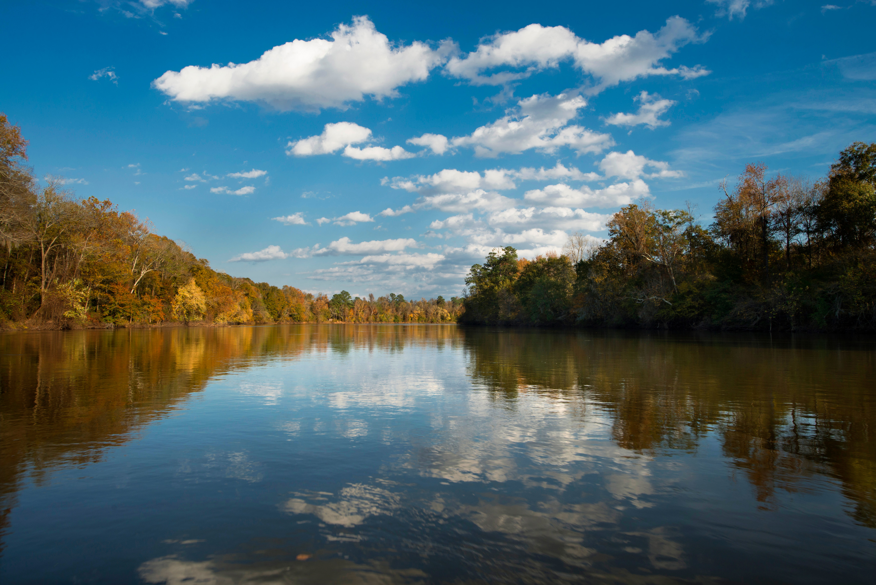
The best hikes in Congaree National Park range from a flat, family-friendly boardwalk to a remote 11-mile loop through flooded bottomland, all set inside one of the tallest old-growth hardwood forests left in North America. This South Carolina park protects a floodplain where champion loblolly pines, bald cypress, and sweetgums tower more than 130 feet overhead—a canopy so tall that Congaree holds one of the highest concentrations of record-size trees in the eastern United States. Below is a trail-by-trail guide to help you match a route to your time, fitness, and the season's water levels.
What is the easiest hike in Congaree?
The 2.6-mile Boardwalk Loop is the easiest and most popular hike in the park. Its elevated wooden walkway keeps your feet dry even when the floodplain is wet, and it passes some of the largest trees in Congaree, including record-size bald cypress with knobby "knees" poking up from the mud. Interpretive signs and a printable self-guided brochure make it a strong first hike for families and anyone short on time. Start at the Harry Hampton Visitor Center, where rangers post current conditions and can point out which sections are flooded.
What is the best longer hike?
For a bigger day, the Weston Lake Loop (about 4.4 miles) and the Oakridge Trail (about 6.6 miles) push deeper into the forest interior, following Cedar Creek past oxbow lakes where you may spot otters, wading birds, and turtles. Serious hikers aim for the Kingsnake Trail, an out-and-back of roughly 11 miles prized by birders for its quiet, wildlife-rich corridor. These dirt trails flood seasonally and are marked with colored blazes rather than paved surfaces, so check the current-year trail conditions and water-level report, and carry a map, before you commit.
Can you paddle instead of hike?
Yes—one of the best ways to experience Congaree is the Cedar Creek Canoe Trail, a marked blackwater paddling route that winds beneath the same towering canopy the trails pass through. It is a good rainy-day or high-water alternative when ground trails are closed, and it offers a completely different perspective on the flooded forest.
When should you hike Congaree?
Late fall through early spring offers the most comfortable hiking, with cooler air, fewer mosquitoes, and better wildlife viewing. Summer is hot, humid, and buggy—the park's famous mosquito meter often peaks then. If you visit in late May or June, ask a ranger about the synchronous fireflies, a rare nighttime display that draws visitors from across the country and sometimes requires an advance reservation.
How does Congaree compare to other Southeast parks?
Congaree is smaller and flatter than mountain parks like Great Smoky Mountains National Park, but its old-growth canopy and blackwater creeks are unlike anywhere else in the country. Pair it with a broader South Carolina trip, browse the full Congaree National Park guide, or plan a multi-park route using our national parks directory and state guides.
FAQ
Do you need a permit to hike in Congaree?
Day hiking on the established trails does not require a permit, and entrance to Congaree is free. Backcountry camping and canoe trips on Cedar Creek may require a free permit, so check the current-year rules on the park's website before you go.
How long does the Boardwalk Loop take?
Most visitors complete the 2.6-mile Boardwalk Loop in about 1.5 to 2 hours at an easy pace, longer if you stop often to read signs or watch for wildlife.
Are Congaree's trails ever closed?
Yes. Because Congaree is a floodplain, ground trails and even parts of the boardwalk can close during high water. Always confirm current conditions with the visitor center before hiking the interior loops.