
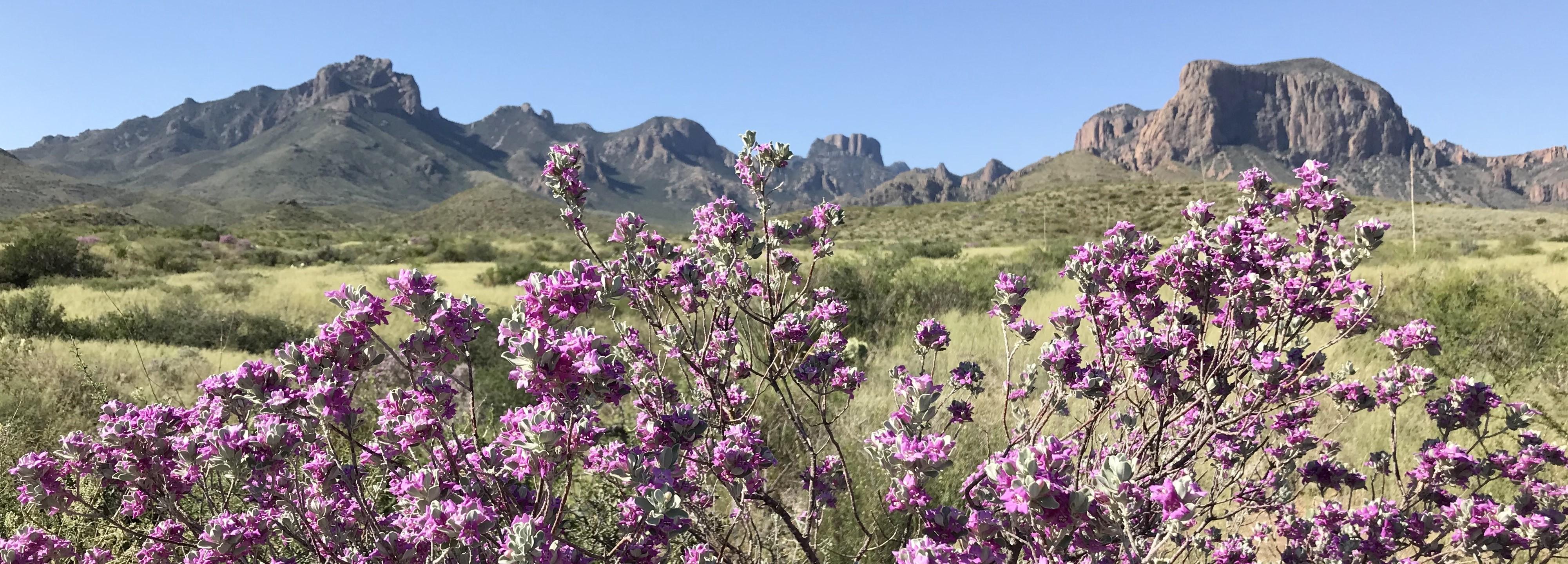
The best hikes in Big Bend span cool mountain forests, desert washes, and dramatic river canyons, all within one of the largest and most remote national parks in the country. Big Bend National Park in West Texas rewards hikers with striking variety, from the shady Chisos Mountains to the sun-baked banks of the Rio Grande. This guide covers the top trails, how to handle the desert heat, the best seasons, and safety tips.
What are the best hikes in the Chisos Mountains?
The Chisos Basin is the hiking heart of the park, sitting high enough to stay cooler than the surrounding desert. The Window Trail descends to a dramatic pour-off framing the desert beyond, while the Lost Mine Trail climbs to sweeping ridge views for moderate effort. Ambitious hikers can tackle the South Rim loop, one of the great long day hikes in Texas, or summit Emory Peak, the park's highest point. Start early, since these trails in Big Bend National Park gain real elevation.
What are the best desert and river hikes?
Down in the desert, the short hike into Santa Elena Canyon is unforgettable, following the Rio Grande between sheer 1,500-foot limestone walls. The Hot Springs trail leads to historic riverside soaking pools and ancient rock art. The Grapevine Hills trail ends at the famous Balanced Rock, a fun, family-friendly scramble. These lower-elevation hikes are best in the cooler morning hours, since the open desert offers little shade and heats up quickly as the day goes on.
What are the best easy hikes?
Big Bend has excellent short trails for casual visitors. The Rio Grande Village Nature Trail offers a quick loop with river views and a scenic overlook, and it is a superb spot for birdwatching. The paved Panther Path near Panther Junction introduces desert plants in just a few minutes. The Chisos Basin Loop is a gentle way to sample mountain scenery. These easy walks let everyone experience the park's landscapes without committing to a long, strenuous hike.
When should you hike, and how do you handle the heat?
Fall through spring offers the most comfortable conditions, while summer brings dangerous heat in the desert lowlands, though the Chisos stay cooler. Hike early, carry far more water than you think you need, and rest during midday. Big Bend is remote, with limited services and spotty cell coverage, so tell someone your plans and check current-year road, trail, and water conditions before you go. Combine your trip with nearby Guadalupe Mountains National Park for a fuller Texas desert adventure.
How do you stay safe on Big Bend trails?
Preparation is everything in this remote park. Carry ample water, sun protection, and a map, since trails can be faint and help is far away. Watch for flash floods in canyons during storms, and be mindful of wildlife including javelina, black bears, and mountain lions. Never wade into the Rio Grande during high water. With sensible planning and an early start, Big Bend delivers some of the most rewarding and uncrowded hiking in the Southwest.
Which Big Bend hike should you choose?
For cool mountain views, hike the Lost Mine or Window trails. For an epic day, tackle the South Rim or Emory Peak. For desert drama, walk into Santa Elena Canyon or to the Hot Springs. Match the trail to the season and your fitness, and always plan around the heat and the park's remoteness.
FAQ
What is the most famous hike in Big Bend?
The Santa Elena Canyon trail and the Chisos Mountains' South Rim are the most celebrated. Santa Elena offers dramatic canyon walls, while the South Rim delivers one of the finest long views in Texas.
When is the best time to hike Big Bend?
Late fall through early spring offers the most comfortable temperatures. Summer is very hot in the desert, though the higher Chisos Mountains remain more bearable for hiking.
Do you need a permit to hike in Big Bend?
Day hikes generally do not require a permit, but overnight backcountry trips do. Rules and road conditions change, so confirm the current-year requirements before planning a longer trip.